
Milan Dhakal
Welcome to my personal website, where I share my professional experiences, skills, and portfolio. Explore my projects, research, and more!
I'm a
About
I am Milan Dhakal, a Forestry graduate and researcher dedicated to protecting our
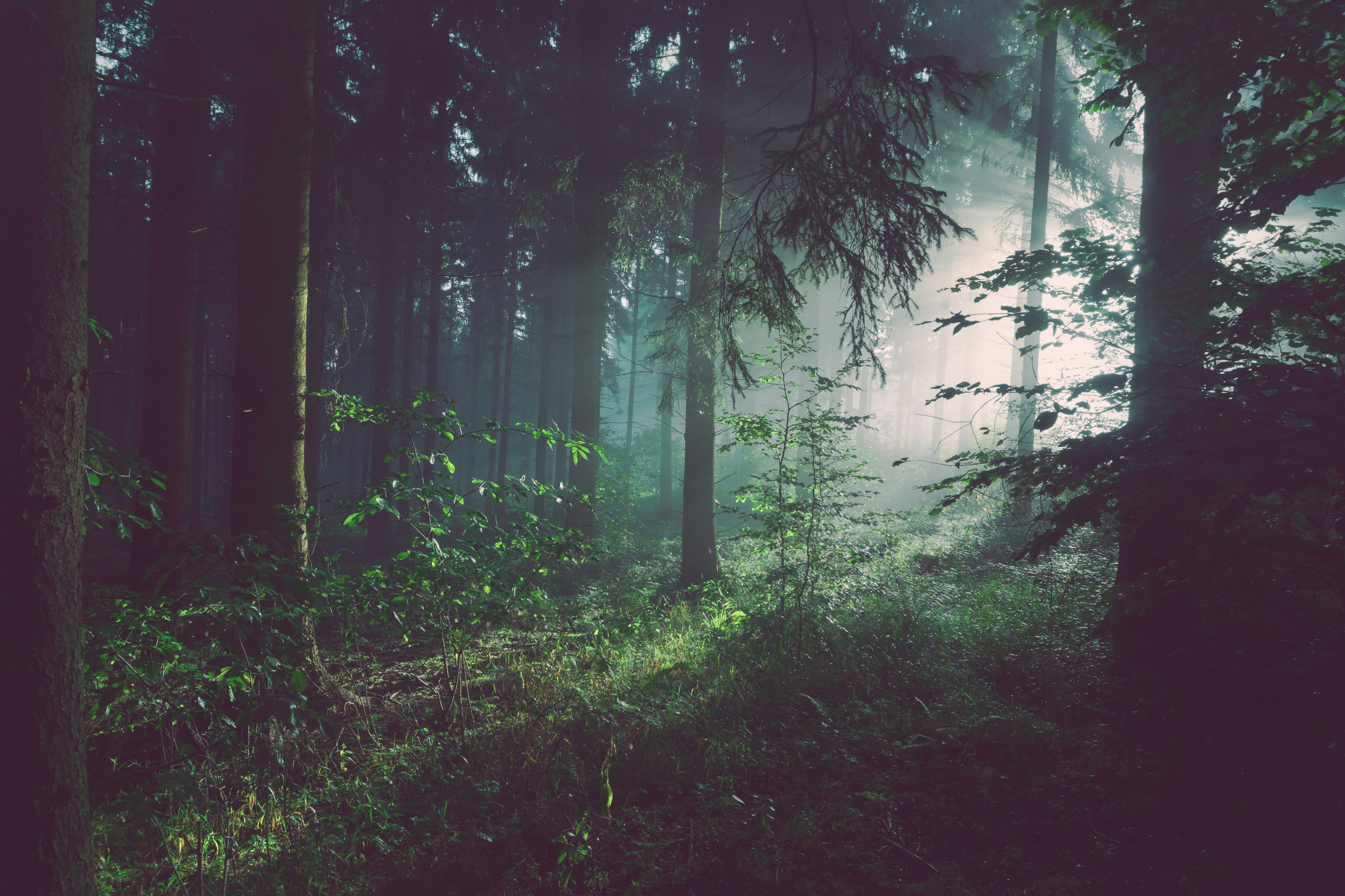
environment using data, technology, and research. My journey began by wandering the
forests of my hometown, which inspired me to dedicate my career to conservation.
Like all researchers, I am naturally curious. In the past few years, that curiosity has led
me into the world of GIS, remote sensing, and Machine Learning (ML), using them to tackle
challenging environmental issues and sustainable resource management. I put these ideas into
practice with a published study on fire ecology
in Geomatics, Natural Hazards and Risk. I am actively engaged in research projects related to forest management, ecological research, wildfire risk assessment, species distribution modeling, and wildlife conservation.
Beyond research, I enjoy reading, hiking, traveling, and nature photography (You can explore some of my shots in the gallery).
I'm open to collaborations, consulting, or roles that use statistical analysis, ML, and satellite data to advance understanding of forest and other environmental challenges.
Think we could contribute together? Let's connect!
Research Interests
My research interest centers on forest ecology, ecosystem monitoring, and biodiversity conservation. I use geospatial technology, machine learning, statistical analysis, and field data to understand ecological processes and guide sustainable resource management.
Remote Sensing
Focus areas include LULC change detection, ecological modeling, species distribution modeling, and habitat fragmentation analysis.
Climate Change
Research focuses on climate change impacts, mitigation, adaptation, and climate risk and vulnerability assessment (CRVA).
Geospatial Analysis
Applies machine learning to spatial data challenges such as image classification, object detection, and spatial prediction.
Conservation
Focuses on biodiversity protection through habitat restoration, species monitoring, and sustainable natural resource management.
Skills & Tools
Skilled in R, Python, ArcGIS, QGIS, and Google Earth Engine, with additional experience in graphic design and web development.

RStudio
Performing statistical analysis and spatial data analysis with R Studio for efficient data insights.

Google Earth Engine
Utilizing powerful cloud-based platforms for large-scale geospatial data analysis and satellite imagery processing.

ArcGIS
Expert in spatial analysis, map design, and geographic data management using ArcGIS.

QGIS
Strong knowledge in open-source GIS tools for spatial data visualization and analysis.

Python
Experienced in scripting, data analysis, and automation using Python libraries such as NumPy, Pandas, and GeoPandas.

Google Earth Pro
Proficient in geospatial data visualization and analysis.
HTML & CSS
Crafting clean, responsive, and interactive websites from scratch using HTML and CSS.

Photoshop
Expertise in image editing, compositing, and graphic design.