
Portfolio
Some of the featured GIS, remote sensing, and spatial analysis works.
- All
- GIS
- Remote Sensing
AHP Analysis
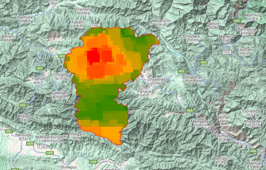
GIS-based multi-criteria evaluation
NO₂ Analysis
Remote sensing of atmospheric pollution
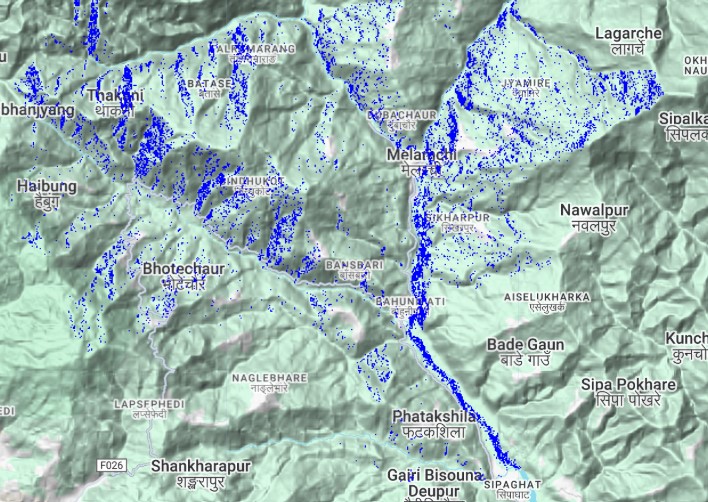
Flood Analysis
Devastated flash flood in Melamchi
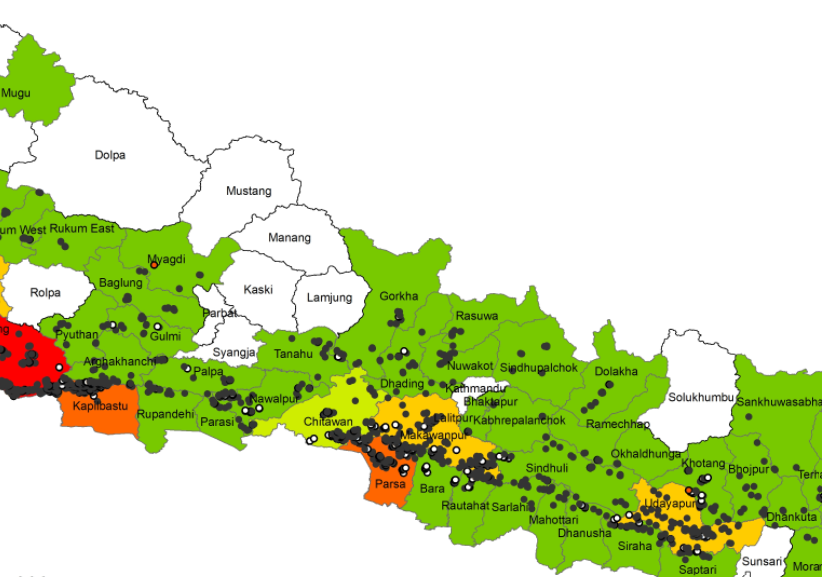
Fire Risk Analysis
Spatial and Temporal analysis of fire incidents 2022
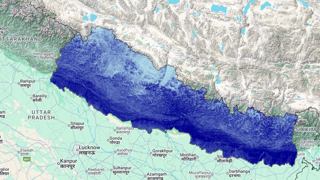
Precipitation Downscaling
Rainfall model visualization (GEE)
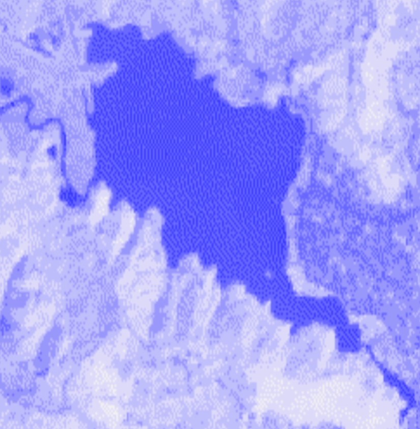
Fewa Lake Sedimentation Analysis
NDVI Time-Series (2015-2023)
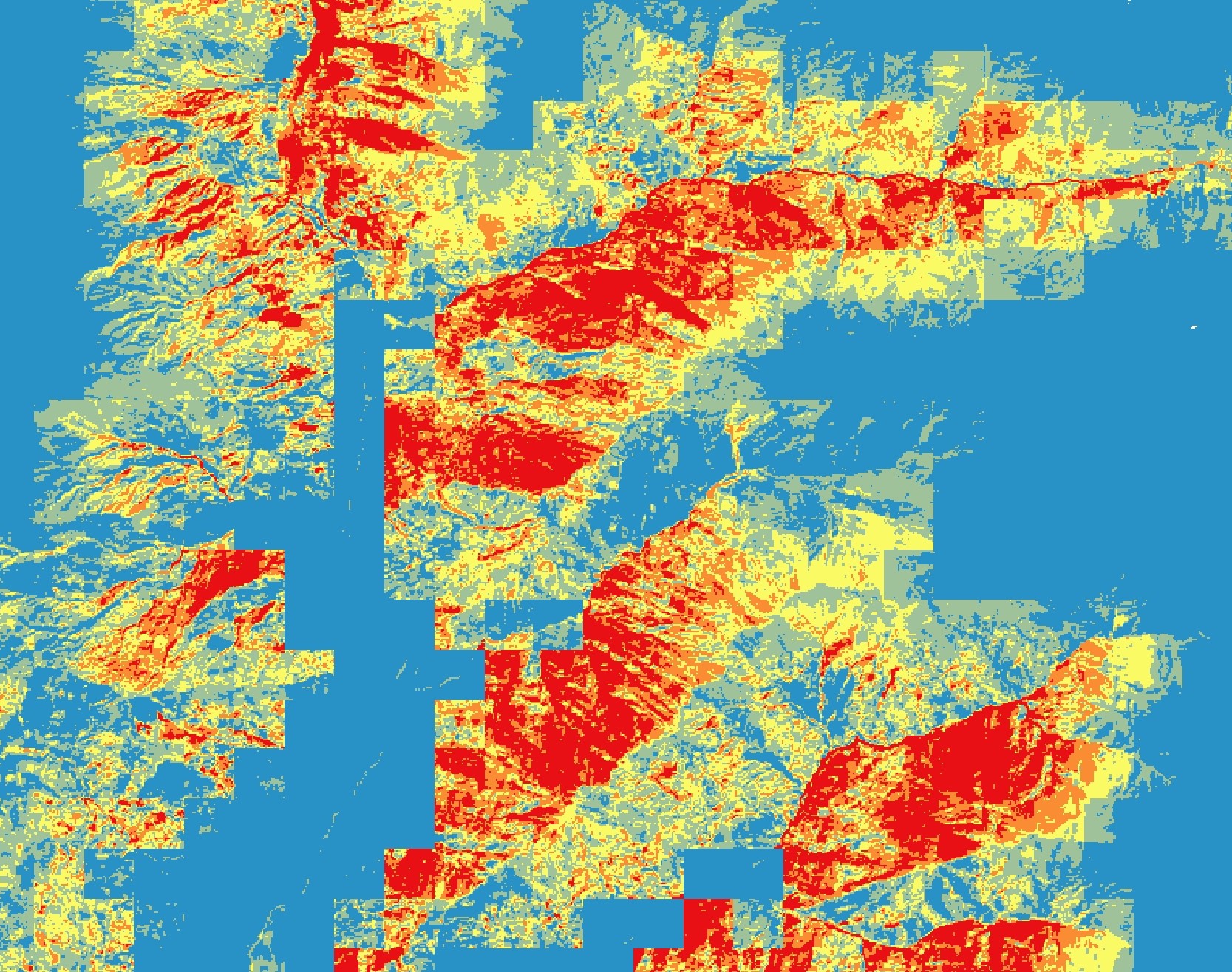
Habitat suitability
Species Distribution Model: Red Panda
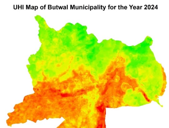
Urban Heat Island (UHI)
Urban Heat Island analysis to visualize spatial heat distribution in Butwal Municipality